
Book Two - Settlements
We enter a new era in the Canadian story. After a century of discovery, the 17th Century begins with serious attempts at establishing French and English settlements.

By the end of the 16th Century, the coastline of what was to become North America had been mapped, in a rough sort of way. From the days of John Cabot, explorers would note key landmarks and the outlines of the coasts they followed as they sailed north and south along a newly discovered continent they called North America1.
European mapmakers made tentative steps at trying to determine the shape of the coastline. They based their cartography on reports from explorers and fishing fleets, if these sources were willing to part with their hard-won knowledge.
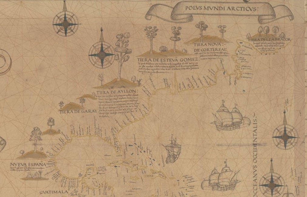
But few navigators on board these ships had the neccessary skills to create even roughly accurate maps. Determining longitude was utter guess-work. Latitude, however, could be more accurately determined. Using a sextant, a navigator assertained the angle between the sun and a known celestial body such as the North Star. Taking this angle, they consulted a char…
